Ryan Carty (Syncus)
3D Generalist |21 year old Student | Environmental Designer
Airport Analysis
This is a project I had for an Art Class studying a "Sense of Place". For the project, me and my group member decided to use the Airport as our place if you consider it one
What I created, with the permission of my professor, was a 3D Visualization of the OnTime, Delay, And Cancelled flights coming from my airport College Town
The map was created by using a Cartesian Caramel DataMap Tutorial
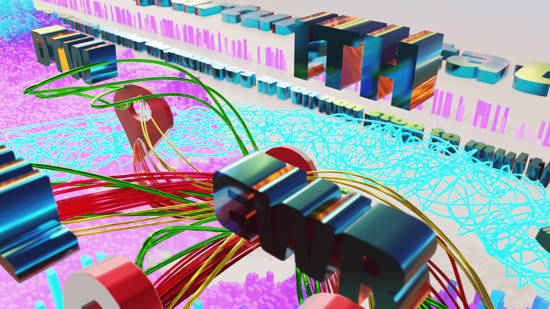
Wires stretching out

The spiral represent the area of airports you can reach from a one way


Zoomed out Map